
Winter Storm to Bring 10″-18″ of Snow and High Winds
Snowmageddon 2020 is on the way.
The National Weather Service has issued a winter storm watch in effect from this evening (Thursday) through late Friday night.
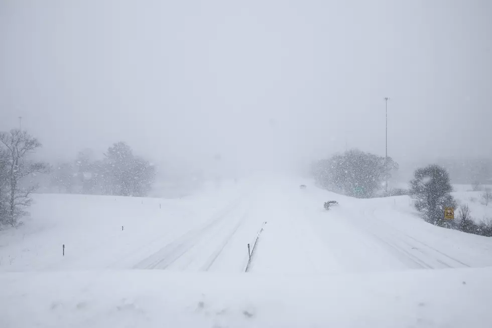
Heavy snow is possible above 3000 feet. Total snow accumulations of 10 to 18 inches possible above 4,000 feet. Elevations between 3000 to 4000 feet could see lighter accumulations of 3 to 10 inches. Winds could gust as high as 55 mph.
This storm system will bring snow to the Cascade Mountains and passes and the northeast Oregon mountains. It's expected to bring rain to the lower elevations.
The storm system will bring high winds as well, with gusts of over 50mph.
Travel will be impacted. Driving will be difficult. Power lines and trees may be blown down. And there may be power outages.
If you're planning to drive, it's a good idea to have a winter driving kit to include a flashlight, batteries, blanket, snacks, gloves, boots, aa first aid kit, and water. Also, if you know you'll be encountering snow, have tire chains, an ice scraper, and snowbrush, as well as jumper cables. Be prepared.
...WINTER STORM WATCH IN EFFECT FROM THIS EVENING THROUGH LATE FRIDAY NIGHT.
* WHAT...Heavy snow possible above 3000...
Posted by Walla Walla County Emergency Management on Thursday, November 12, 2020

CHECK IT OUT: 10 Items Might Be in Short Supply This Winter
More From 105.3 KISS FM

![#SafePlaceSelfie Day is Wednesday, April 7th. [VIDEO]](http://townsquare.media/site/133/files/2021/04/RS25488_GettyImages-481960044-scr.jpg?w=980&q=75)