Credit: NOAA Photo Library, NOAA Central Library; OAR/ERL/National Severe Storms Laboratory (NSSL)
Oh, Hail No! Northwest Surprised By Unusual Storms
Credit: NOAA Photo Library, NOAA Central Library; OAR/ERL/National Severe Storms Laboratory (NSSL)
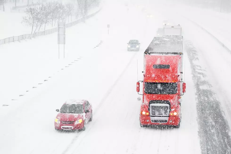
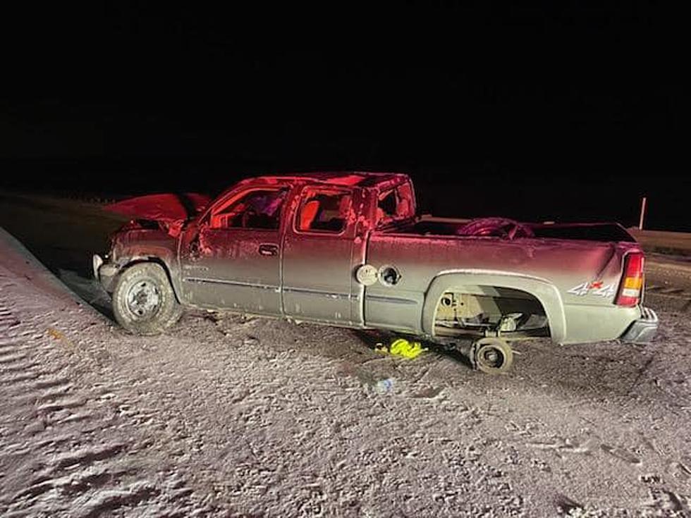
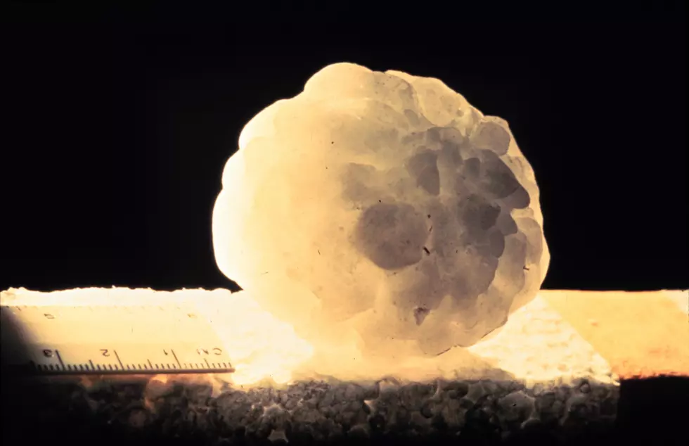
It hailed this week in the Northwest. Amid the unrelenting summer heat, ice somehow fell from above. And not just small pebbles. This hail was bigger than pocket change, which we sometimes see.
The frozen objects that fell from the August sky ranged in size from golf ball to baseball.
How can this be? We'll get to the science of it all in a moment. First let's look at what social media had to offer in the way of evidence that these freak hailstorms happened.
What the Hail Happened?
How the Hail Did That Happen?
The National Severe Storms Laboratory tells us that hail is "a form of precipitation consisting of solid ice that forms inside thunderstorm updrafts.”
Imagine raindrops that crystalize into ice, and then keep adding layers, like an onion. Eventually hail becomes too heavy to be held in the clouds, and so it falls to the ground, beans you in the head, or goes through your windshield. No one said nature played fair.
Why the Hail Now?
A heatwave seems like an unusual time for ice pellets to form in the sky. I've always associated hail with the colder, winter months. But a quick Google search proves that I have absolutely no idea what I'm talking about.
It turns out that hail is most common in the summer, during thunderstorms. Warm surface temps and a cool upper atmosphere make it an ideal time to pelt earth. Who knew?
KEEP READING: Get answers to 51 of the most frequently asked weather questions...
LOOK: The most expensive weather and climate disasters in recent decades
Gallery Credit: KATELYN LEBOFF
More From 105.3 KISS FM